By Emily Renaud
All of Earth’s natural systems will be impacted by our rapidly warming climate, but some habitats–the natural homes where animals, plants, and other organisms live–are more vulnerable to the effects of climate change than others. A recent climate vulnerability assessment, published in PLOS ONE, is the first report of its kind aimed at determining which habitats in the Northeast are most likely to feel the worst effects.
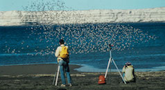
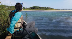
Take, for instance, the Gulf of Maine. It’s a highly diverse and productive marine ecosystem, with coastal waters teeming with biodiversity, but it’s warming faster than 99 percent of the world’s oceans. The Gulf of Maine is getting hotter, quickly, and that’s changing the population dynamics of the region’s species as well as the way of life for people who depend on its resources. (Maine’s fishing industry generates nearly $4 billion annually and provides as many as 100,000 jobs.)
The study, conducted by National Oceanic and Atmospheric Administration (NOAA) Fisheries, complemented previous research assessing the climate vulnerability of fish and shellfish species. But this was the first study to look at climate vulnerability in physical habitats.
Its results revealed several types of Northeast habitats that are highly vulnerable to climate change. Many of them share key characteristics with the Gulf of Maine: they tend to be coastal ecosystems, full of life, wedged between a rapidly warming environment and vibrant human industries.
These insights help bridge a gap in our understanding of how climate change will impact species and the habitats they live in, forming a more complete picture to guide conservation efforts and habitat management practices.
To learn more about the report’s findings, we spoke with its lead author, Emily Farr, who is senior fisheries program manager on Manomet’s Resilient Habitats team based in Brunswick, Maine. Before joining Manomet in October 2021, she worked at NOAA Fisheries integrating climate and ecosystem information into fisheries management. In that role, she led the Northeast study alongside collaborators at NOAA Fisheries.
Q&A with Emily Farr
Can you summarize for us the biggest takeaways from this study?
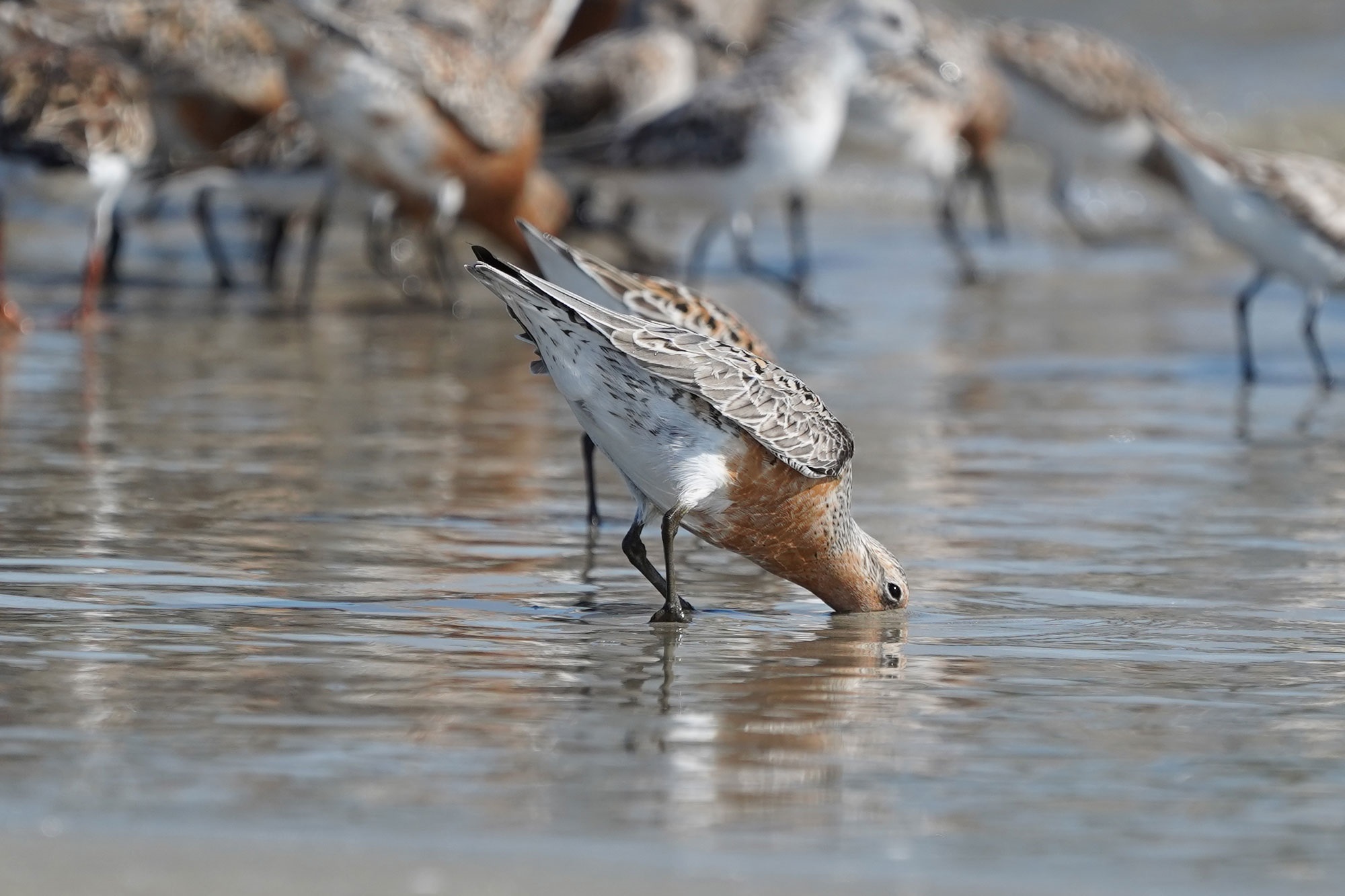
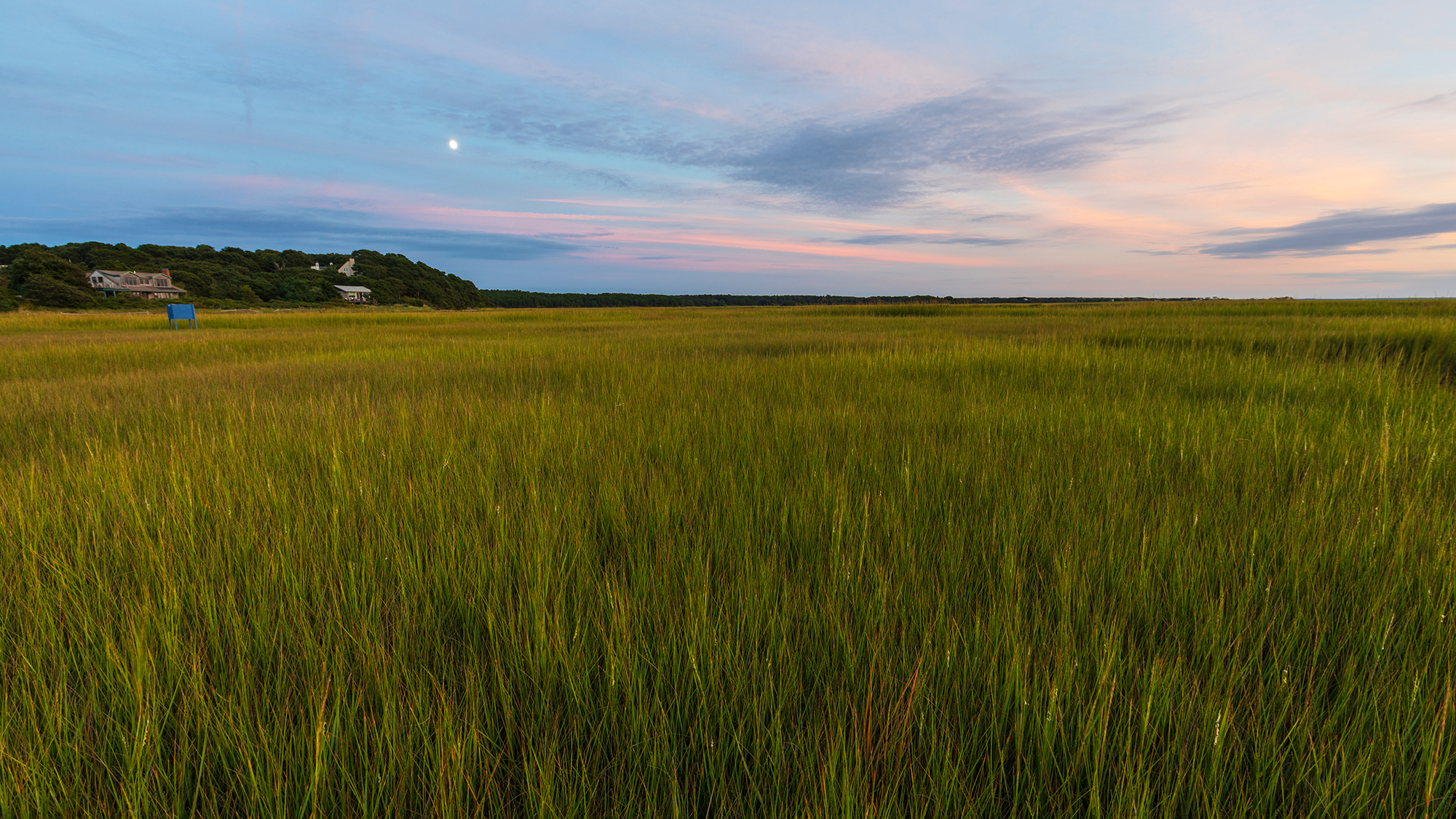
Farr: Most of the habitats we identified as the most highly vulnerable to climate change are what we call “living” habitats, like salt marshes, shellfish reefs, deep-sea corals, and seagrasses. We determined intertidal habitats–like mudflats, beaches, and rocky shorelines–are also highly vulnerable. These habitats are situated between land and sea, with impacts from human development on one side and increased inundation from sea level rise, erosion, and physical disturbance from storms on the other.
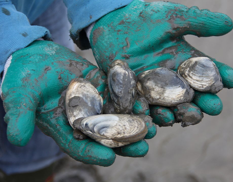
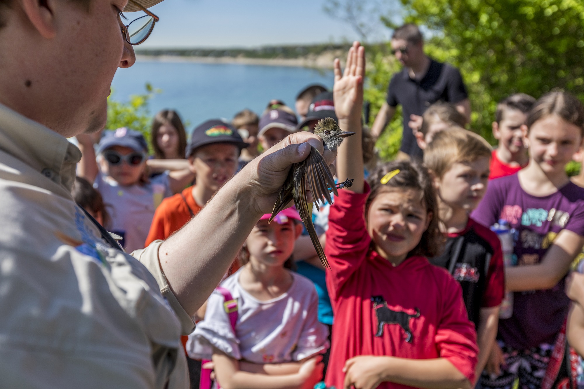
What adds a layer of urgency to this study’s findings is when we consider how climate change is going to affect the species that use these more vulnerable habitats. For example, the sand, rock, and mud of intertidal zones support a tremendous amount of diversity, from shellfish to shorebirds. This habitat type was found to be highly vulnerable to climate change, so this underscores the need to act and come up with ways we can make these habitats and species more resilient to change.

What makes a habitat vulnerable to climate change?
Farr: Vulnerability is a factor of sensitivity and exposure to climate change. When determining a habitat’s sensitivity to climate change, we asked questions like: How resilient is this habitat to disturbance? Is the habitat able to spread? How widely is it distributed across the region?
When thinking about exposure to climate change, we’re looking at how climate change projections overlap with the range of a given habitat. For instance, one factor of climate exposure we looked at is the projected change in air temperature across the Northeast at the end of the century. We wanted to know how that projected change overlaps with the geographic distribution of salt marshes, which tells us how much exposure that salt marsh habitats will have to higher temperatures. These factors went into how experts ranked the overall vulnerability of the habitats we were focused on in the assessment.
What does vulnerability look like on the ground? Can you provide examples of the effects climate change currently has on these habitats?
Farr: One of the great outcomes of the assessment was that we developed a set of narratives for each habitat describing the specific drivers of change and the expected impacts those changes may have. Going back to intertidal zones as our example, we know this habitat covers the coastal area between the high and low water mark as the tide goes in and out. One of the biggest impacts climate change is having on the intertidal zone is sea level rise; as the sea level rises, the intertidal zone shifts. Some intertidal habitats, like salt marshes, can migrate landward, but they are often blocked by hardened shoreline structures or topography.
Sea level rise can also create cascading effects, converting salt marsh into intertidal mud, and intertidal mud into subtidal mud, but these dynamics are not very well understood. Intertidal mudflats are a very important habitat type for many shellfish and crustaceans, as well as organisms that serve as a critical food source for migratory shorebirds, so these changes have important implications for many different species.