

Maine’s coastal communities and shellfish harvesters are already seeing the effects of rising seas—less time to dig for clams, shifting shorelines, and more intense flooding during storm events. But how exactly is sea level rise shaping these landscapes?

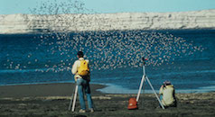
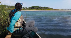
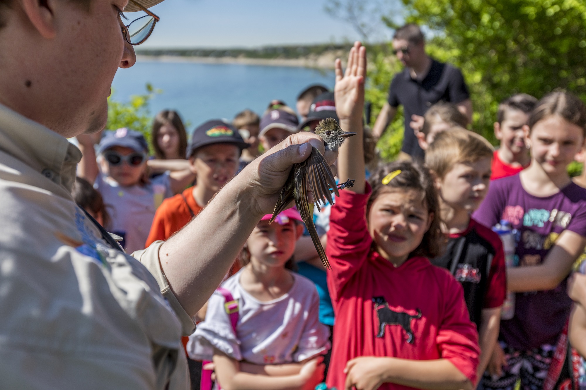
To find out, our fisheries team – led by Senior Fisheries Program Manager and Senior Director of Emily Farr and Senior Director of Fisheries Dr. Marissa McMahan – worked closely with local shellfish harvesters and partners, gathering decades of firsthand knowledge and combining it with data from drone surveys, lidar (elevation), and historical imagery to create two ArcGIS StoryMaps—one focused on Scarborough, Maine and the other on Penobscot’s Northern Bay in Maine.
If you’re new to ArcGIS StoryMaps, they’re a game-changer for understanding environmental challenges like sea level rise and coastal change. By blending interactive maps, data visualization, and storytelling, they make complex research more engaging and accessible. These tools help analyze and share data in ways that deepen understanding and drive informed decisions. By integrating insights from local voices, aerial imagery, lidar, and drone data, we’re building a clearer picture of how these vital landscapes are changing—and how we can prepare for the future.
With sea levels rising and coastal ecosystems shifting, having a dynamic way to visualize these changes is more important than ever. The information in these two StoryMaps not only highlights the science behind these transformations but also help communities and decision-makers take action to protect the places on which we all depend.
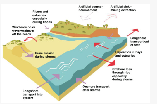
In Scarborough, shellfish harvesters with over 150 years of combined experience helped map the changes, describing a shrinking window of time available to harvest before low tide. By layering in lidar data, we can see that in the absence of a supply of sediment to help the flats keep pace with rising water, 1.6 feet of sea level rise could submerge 24% of the mudflats —and under 3.9 feet, that number jumps to 85%!
In Penobscot’s Northern Bay, the story is just as striking. Harvesters report that tides are creeping further up the shore than ever before, and if seas rise by 3.9 feet, 70% of their mudflats could vanish beneath the waves (if there is not enough sediment for the mudflats to build elevation as sea levels rise).

Both stories explore what these changes mean for shellfish harvesters, local economies, and the future of Maine’s working waterfronts. Check out the Scarborough and Penobscot StoryMaps to dive deeper into the data, hear from harvesters, and see what’s at stake.