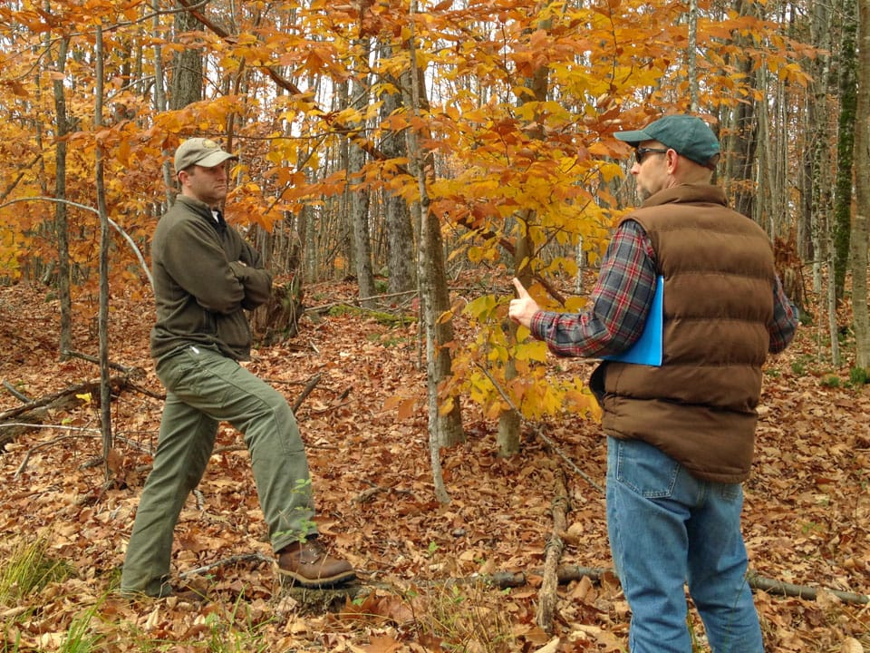

For many years, if you wanted to know the condition of a forest or measure its defining characteristics, such as the types of trees and their size, the only real method was to venture into the field to observe and measure things first-hand. But over the past several decades, there has been a growing suite of new and improving technologies that allow us to observe, measure, and monitor forests from above—opening up a world of possibility for scientists, timber companies, and the conservation community.
Some of this technology involves specialized cameras and sensors that detect the amount and wavelengths of light that are reflected by the forest, which tells us all kinds of useful information. This includes everything from the types of trees and how fast or vigorously they are growing to the timing of seasonal events like spring leaf-out and the presence of stress from insect outbreaks or drought. In addition, there are other technologies, such as lidar and radar, that actively send out pulses of laser light or radio waves, respectively, and then detect the signal that is reflected back, which provides information about the size, shape, and three-dimensional structure of the objects below. All of these technologies can be mounted on planes or drones that fly over the forest canopy or on satellites that are launched into orbit around the Earth.